

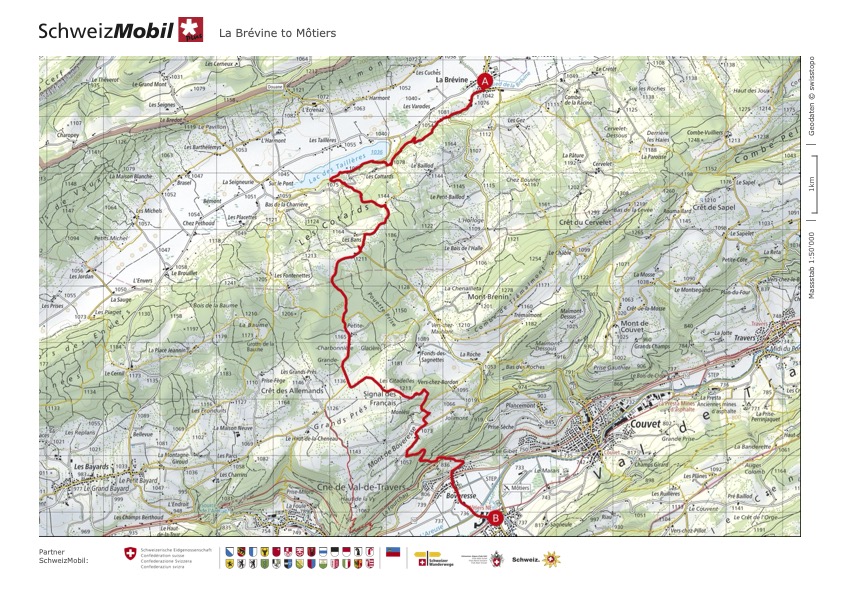
From La Sagne/Col des Roches to Môtiers in 2 days
March 2021 & March 2022
For this two day hike I went very freestyle on the first day to finally end up in the Siberia of Switzerland, La Brévine and on the second day follow the Vy aux moines to Môtiers.
This hike, while beautiful and a very fond memory (so fond actually, that I repeated it with Sam a while later), showed me also how frustrating it can get when you don’t plan everything ahead of time in terms of the trail. While the second day was clearly mapped out, being an officially marked route, the first day was my “Screw you” to my inner control freak. That meant that I didn’t fully map out the section and just chose a starting point, end point and some dots in between. And while that can work out perfectly fine, especially in a country that has such a lush hiking trail network, it can also backfire. Which at least partially happened to me here. That being said, I got to experience some beautiful parts on that first day (more on that later) and I do believe it is a good exercise to sometimes forging your way as you go along and learn to deal with the frustration, making the best out of it and trust in yourself to get you where you need to go.
I will share below both my Solo Hike trail for the first day as well as the option Sam and me chose for our repeat in March 2022. Both trails ultimately ended up in La Brévine.
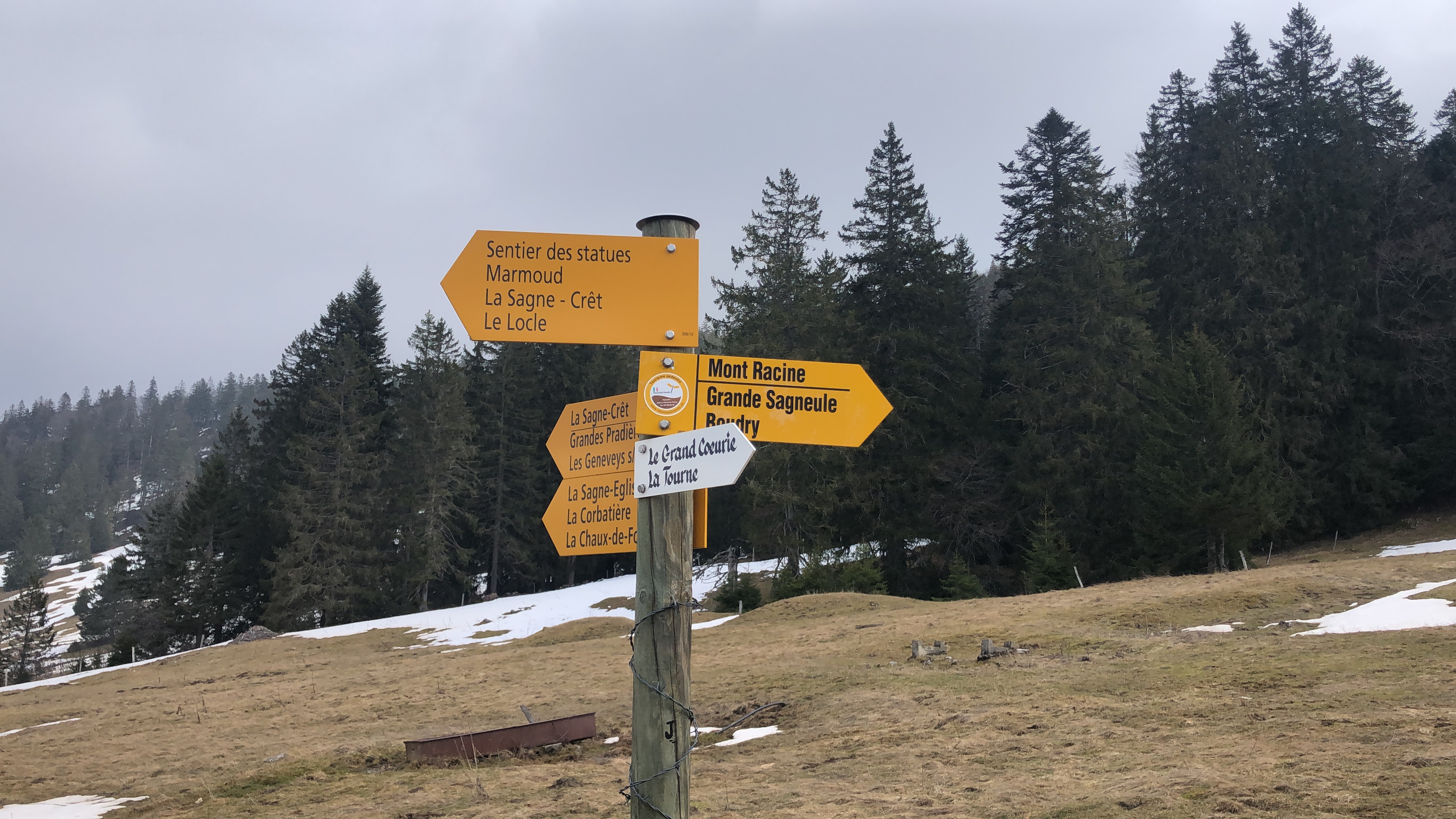
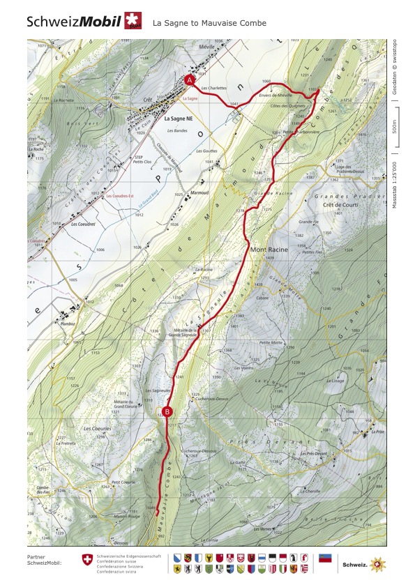
Option 1: La Sagne to Mauvaise Combe, Cerneux Péquignot to La Brévine
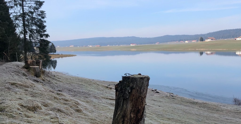
I started on a relatively sunny but cold early March day in the little village of La Sagne. The trail started by crossing the Vallée des Ponts, an enclosed high valley around 18 km long and heading to the forest across. It was here, that I sent a grateful message to Sam, who urged me to still take my snow hiking shoes in case the path was still snowy or icy. Being in the little valley Combe des Quignets with very little sun exposure, there was still quite a bit of it.
Ascending through the valley, I reached the mountain hut La petite Charbonnière, where I took my first little break. Being quite early in the year, I was completely on my own, enjoying the serene atmosphere.

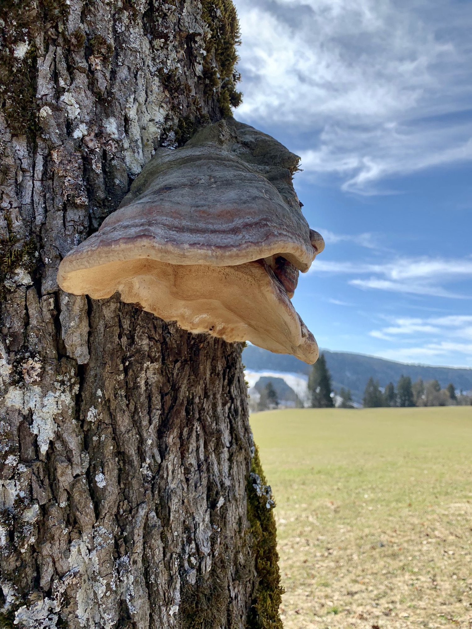
From La petite Charbonnière I carried on over the still brown pastures, gently ascending. The views were quite stunning and reminded me sometimes of the Scottish highlands.
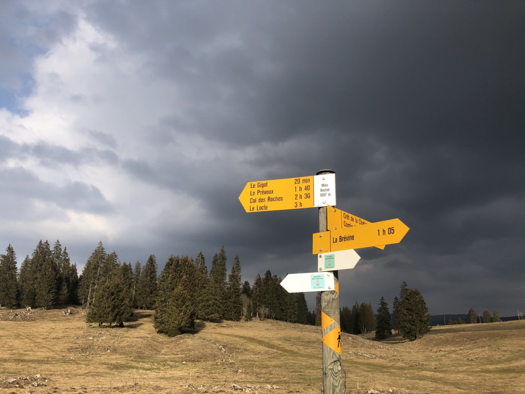
I felt a deep appreciation of being in solitude, nothing obstructing my view, feeling the wind blowing through my hair. But it was also here, were I started to get confused as to where to go next. I did at this time not yet have my SchweizMobil Online App and also didn’t bring a map with me. So all I had were those names of various locations on the way to La Brévine and many of them I couldn’t find on any of the hiking signs along the way.
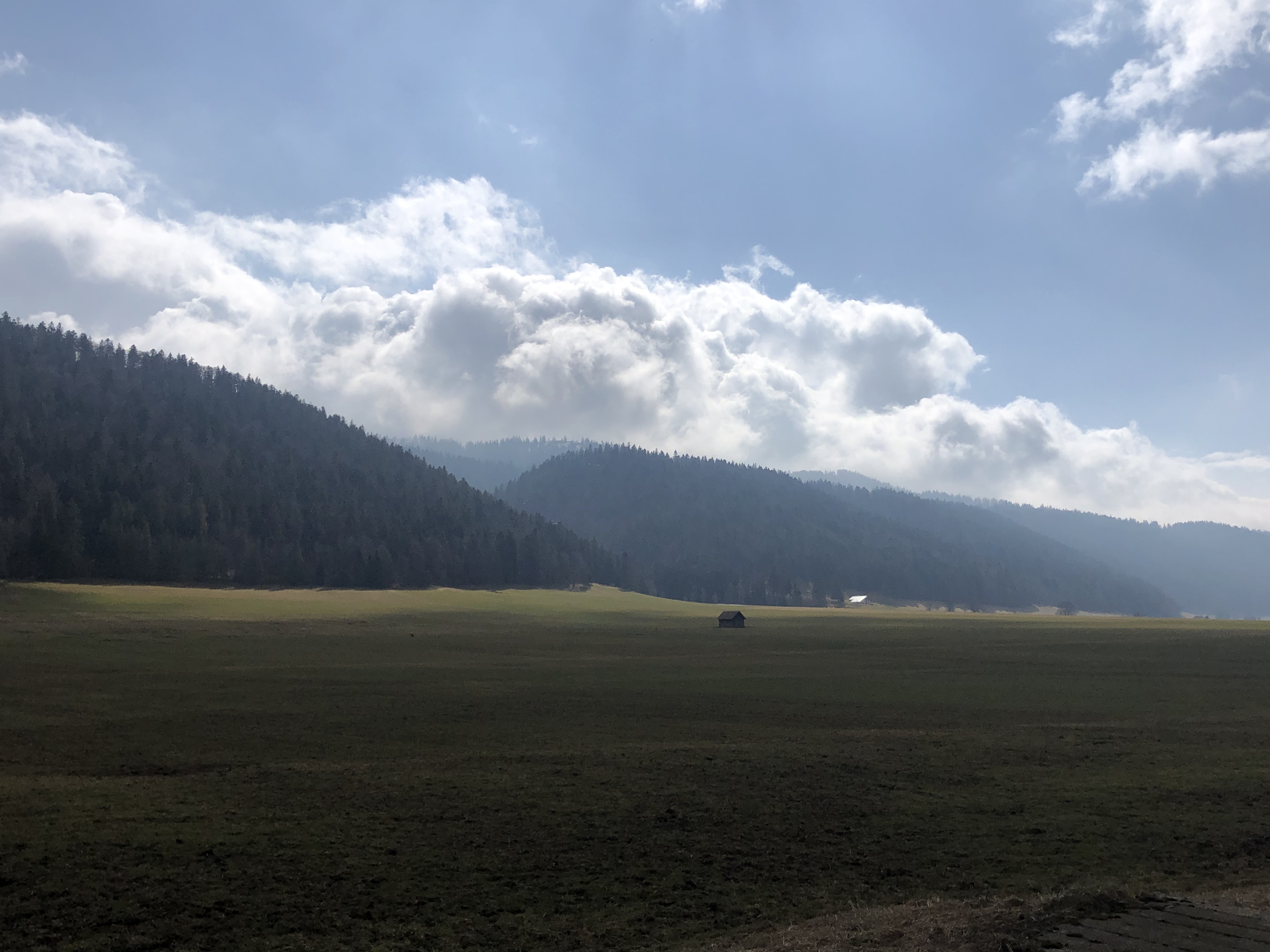
I carried on to the Alpage de la grande Sagneule which is open from May to October, so was still abandoned at the time. It looked like a very nice place to stay for a drink or something to eat though, if you’re there in the right season 😊. From the Restaurant the path led downhill over a small asphalt road.
Descending through the Mauvaise Combe, a rather steep (but not exposed!) valley with very little to see, I reached a bus stop on the side of a rather busy car road. It was here where I had to admit a (temporary) defeat. I couldn’t really see another trail, that would lead me to La Brévine in time before it got dark. As faith would have it, I arrived just 5 minutes before a bus would come. So I took this as a sign and drove to Le Locle to make another plan from there.


I have to admit, that my mood was rather down after having arrived in Le Locle and the disappointment of not managing to find a continuous path to my end destination lay heavy . But a quick route-planning-strategy talk with Sam over the phone brought the motivation level right back up.
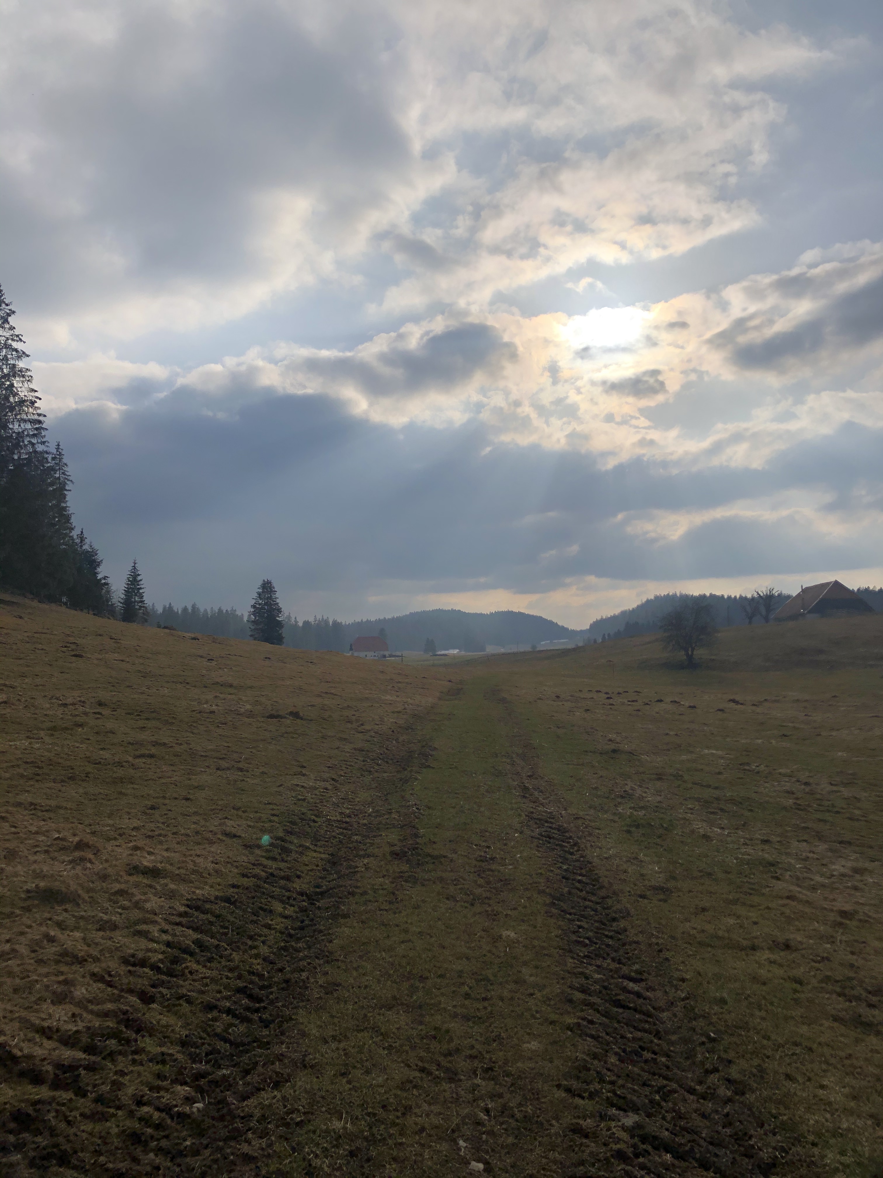
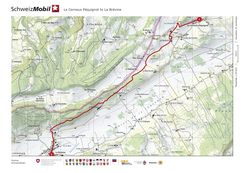
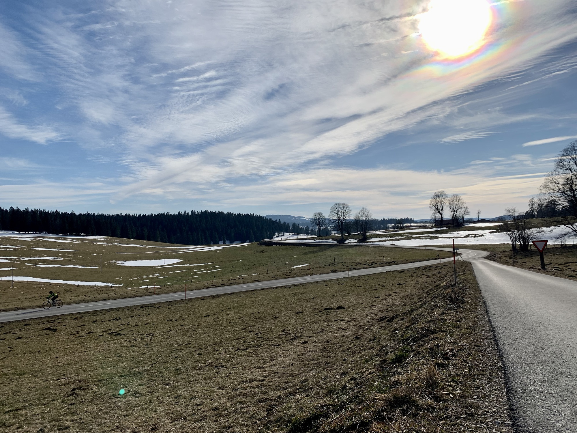
I took the bus to Le Cerneux Péquignot and picked up my walk to La Brévine. First following a little asphalt path next to the car road, at Les Basbelins the trail branched off and soon led over wide open meadows without a clear human made path.
The sky slowly started to change it’s color into a dark lush grey. The brown pasture, still in it’s state of hibernation lit up in the afternoon sun breaking through the clouds. It is those moments, those unique points of time that you know right then and there can never be recreated and that is what makes them so precious. To walk on that path in the late afternoon, the possibility of rain in the air, all on my own with nothing but my backpack, I couldn’t help but feel like this was an intimate conversation with the nature around me.

The path entered the forest of Charmottes. The evening sun shining through the branches and at this point I was fully convinced to have little forest fairies walking next to me.
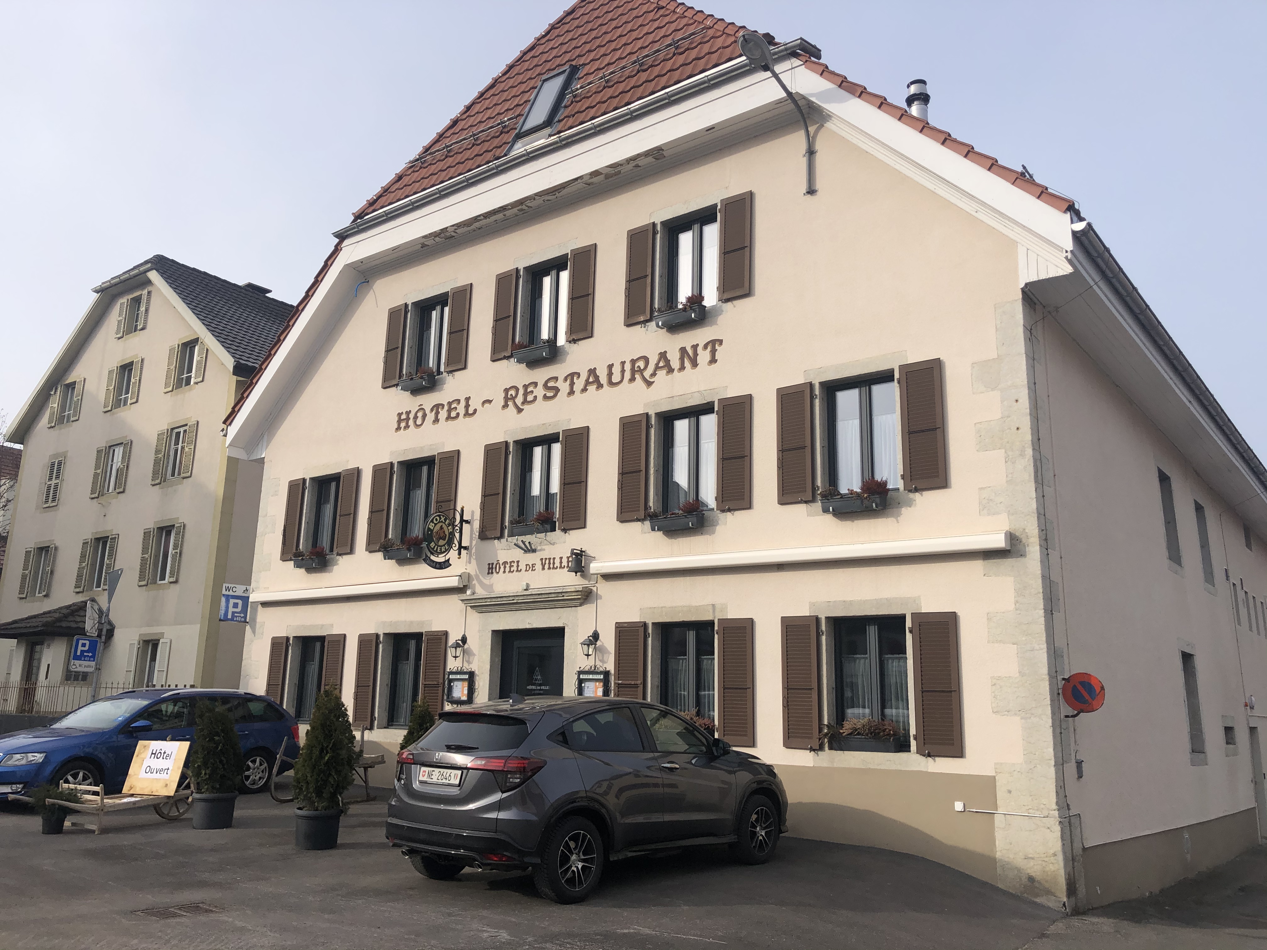
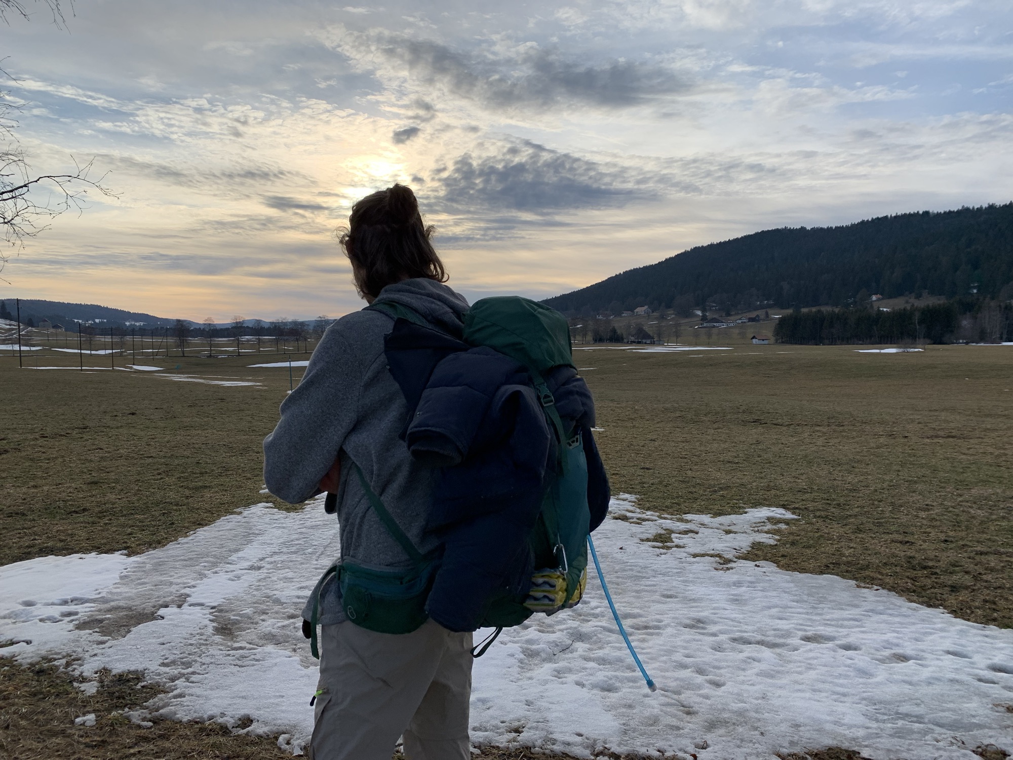
As soon as I stepped out of the forest, the landscape opened up and offered a view of the high valley Vallée de la Brévine. Via a tree avenue I entered La Brévine; the little farmers village lay quiet and I did not encounter one single person on my way to my hotel. The “Hôtel-de-Ville” is situated right in the village center. It felt as though I was the only guest – being very off-season, it didn’t surprise me very much.
I had my dinner pre reserved and enjoyed it at a relatively early time as I was quite tired from the long day and the many impressions. Warmly tucked in, I fell asleep with the anticipation to discover the monks trail the next day.
Click here and here to see this section on SchweizMobil
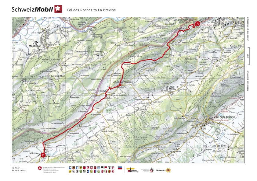
Option 2: Le Col des Roches to La Brévine
Time to talk about the second hike to La Brévine – which will from Le Cerneux Péquignot follow the same path; so I will mostly talk about the part from Le Locle to Le Cerneux Péquignot.
This time I got to experience this fascinating area together with Sam and we decided to skip right ahead and start in Le Locle or rather Le col des Roches – but close enough.
Col des Roches is a short Bus drive from the Le Locle trainstation and is a bottleneck between the canton of Neuchâtel and France. It is also the location of a special factory in a cave; in the 17th century, the millers of Le Locle expanded the cave to harness the energy of the underground waterfall. Five water wheels that powered mills, threshing machines and saws were installed. The caves can be visited and there is a museum that expands on the history of the mills. Sadly they were closed at the time we were there, but since the hiking path leads more or less passed the museum, it might be worth to take another couple of hours for a visit.
The first little section was a relatively steep ascent through a forest up to a high plateau at Les Roches Houriet, from where we were offered a view over Le Locle.


From there the trail carried on over pastures and through forests and past farm houses and at one point following the french border.
Being a sunny day, we even got to enjoy a little lunch at the edge of the forest, hearing the birdsong in the trees and sheep bleating in the distance noticing the first flowers blossoming in the grass.
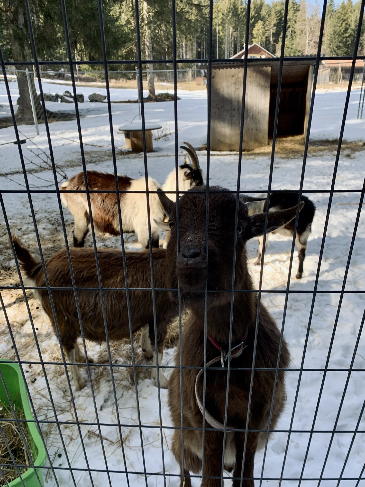
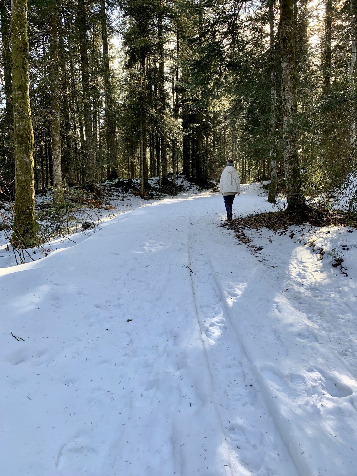
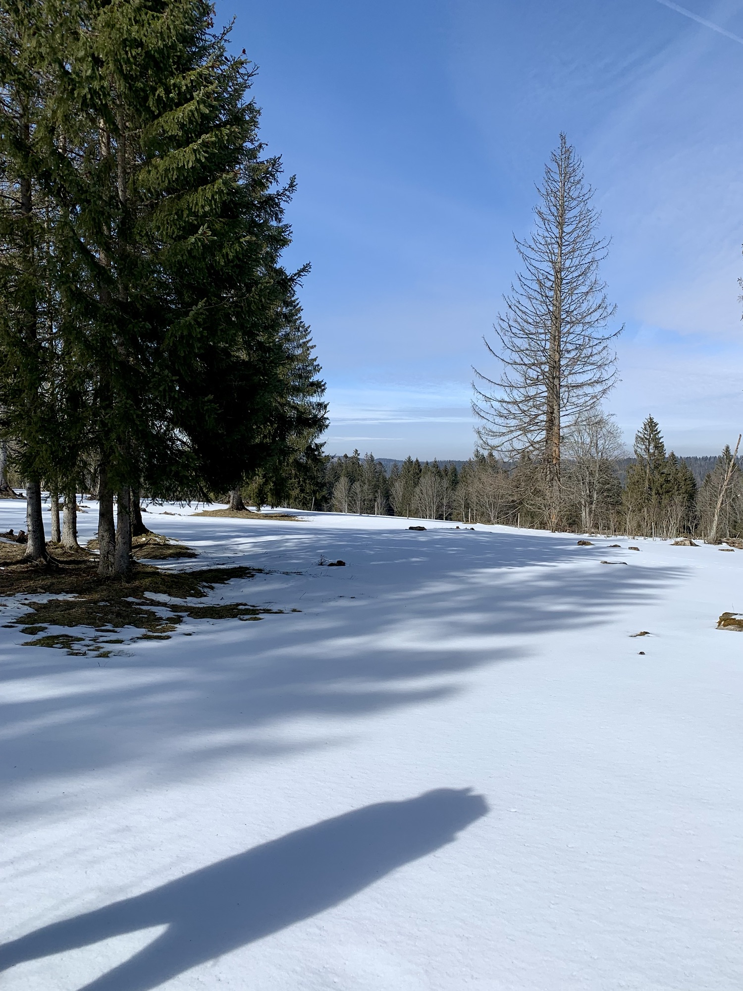
At Le Prévoux, having gained some elevation, we came across quite some snowed in trails and were for a moment even considering taking the bus to La Brévine instead of walking. We ultimately – and luckily- decided against it and marched on. The path led through the forest Bois de Bétod, gently ascending and we made some new four legged friends along the way.

The fresh air in the forest felt energizing and the sunlight made the snow on the path glitter; our footsteps crunched gently on the frozen snow.
Arriving at the little hamlet Bétod, we consulted the map and accepted, that crossing the mountains over to Les Roussottes and then crossing them right back to reach Le Cerneux Péquignot, posed a bit of a risk with the snowy conditions we encountered so far, since we didn’t know the type of path it would be. So we chose to make our way down the little asphalt road to the bus stop of Le Creux and drive those two stops to Le Cerneux Péquignot to pick up the hike from there again. I am sure the missed out section is beautiful and fully intend to try it once, later in the season. On the map you will see the originally planned route without our “detour”.
From Le Cerneux Péquignot we followed the same trail I took a year ago when I was solo hiking. I was exited to revisit that magical area and even though the atmosphere was a different one -different sky, different hour of the day, different circumstances- it was just as beautiful and magical. And doing it with Sam made it feel entirely new and yet like introducing him to an old friend of mine.
The area of the Vallée de la Brévine fascinates me with its unique wild nature. The flat wide valley with the open pastures, mighty spruce trees and a sky so broad and seemingly within hands reach bring home that feeling of being just one little dot on our earth. A beautifully humbling realization.


While crossing the big pasture towards the forest we couldn’t feel anything but content and full of energy. Passing through the forest, we encountered several snowy patches but it didn’t prove challenging in any way. The hunger and growling in our stomaches were another story however.
Stepping out of the forest and seeing La Brévine below us was just as magical as the first time around. We stayed in the same hotel as I did last time and I felt very happy to share this place – and a good meal – together with Sam.
Tired from a long day of walking we were happy to sink into our beds at the end of the day.


Click here to see this section on SchweizMobil
La Brévine to Môtiers
The “Vy aux moines” led in the middle ages from the abbey of Môtiers to the abbey in France at Montbenoît. And during the Reformation, the monks used the route to escape. Since then over the centuries it served as a connection between the two valleys for salt traders, smugglers and refugees.
Both in 2021 and 2022 I followed it in the exact same direction and yet had two completely different experiences. I will in this chapter talk about the trail in general and not differentiate between the two times. In 2021 it was a lot less snowy than in 2022, but we didn’t face any difficulties during our hike in 2022.
I skipped on the part between the Lac des Taillères and Montbenoît, but look forward to catch up on that in the future.
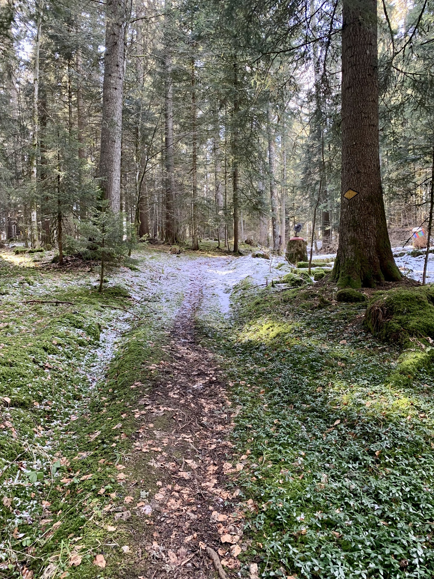
The route led out of the village via the mainroad, which is luckily only for about 60 meters before it branched of into the fields. After a short but relatively steep ascent I ended up in a absolutely magical forest and walked on a soft mossy trail. The peaceful morning atmosphere in the crisp air was the most gentle yet clear waking up one could have.


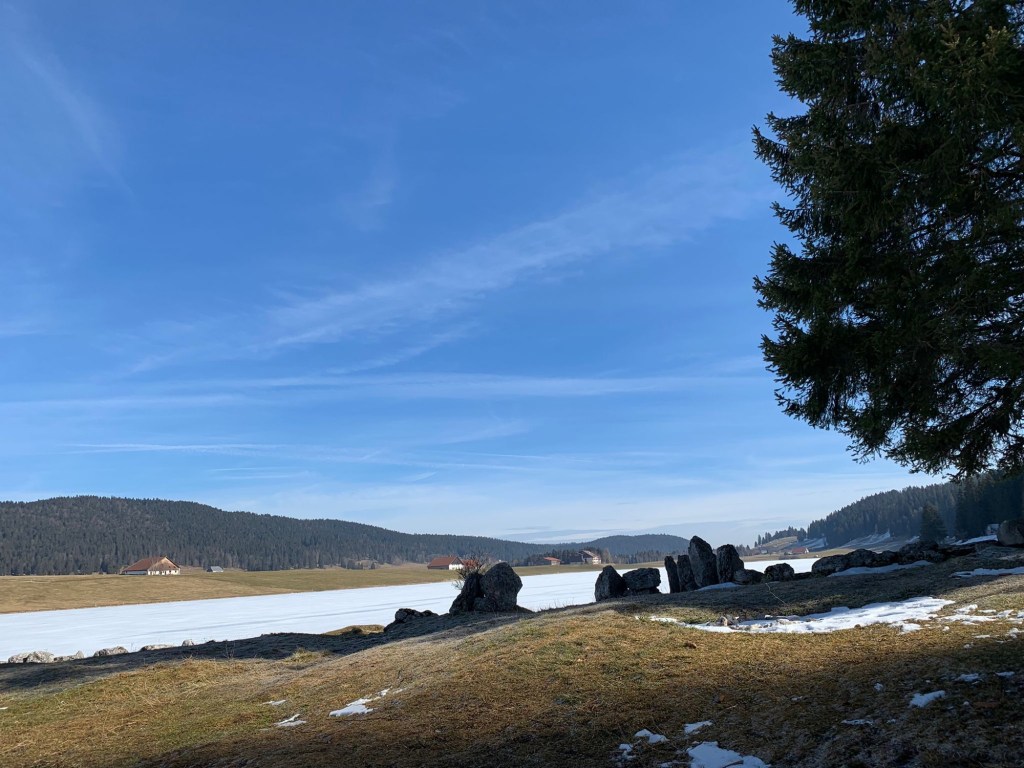
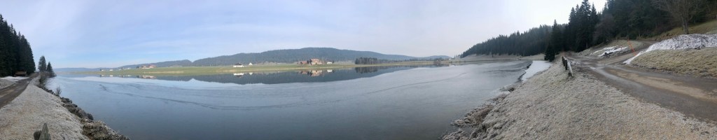
I was particularly exited to see the Lac des Taillères, a 1.9 km long lake close to La Brévine. A legend says that the Lac des Taillères suddenly appeared one night after a subsidence in the earth and the forest that stood there before had simply disappeared. I reached the lake via a descent over an asphalt track and the path led along the lake about half way before branching off and ascending again towards the forest Les Cotards Dessus.
But the serenity at the lake was difficult to leave behind and I took my time to take it all in. The second time around the lake was still completely frozen, tiny animal tracks spread all over the snowcovered surface. Surely it is a wonderful experience to go ice skating, while in the summer months it must be a welcome spot to take a refreshing swim.
From the tranquillity at the lake, I found myself in an equally peaceful scenery in the forest; the absence of other people (apart from Sam the second time around😉) was so deeply appreciated as it made the experience that much more “my own”, if that makes any sense.


The path winds its way over fields and through forests in such an effortless way that I sometimes almost forgot that I was actually walking instead of simply floating. And apart from passing by the occasional farmhouse and encountering a barking dog or a curious pony it still felt as though no one else existed out here.
The edge of the forest of La Petite Charbonnière was the lunch spot both times around. A perfect seat on some treetrunks with a view of what’s ahead. And as always, a croissant and a cup of coffee brewed on a gas stove out in nature tastes just so uniquely good.
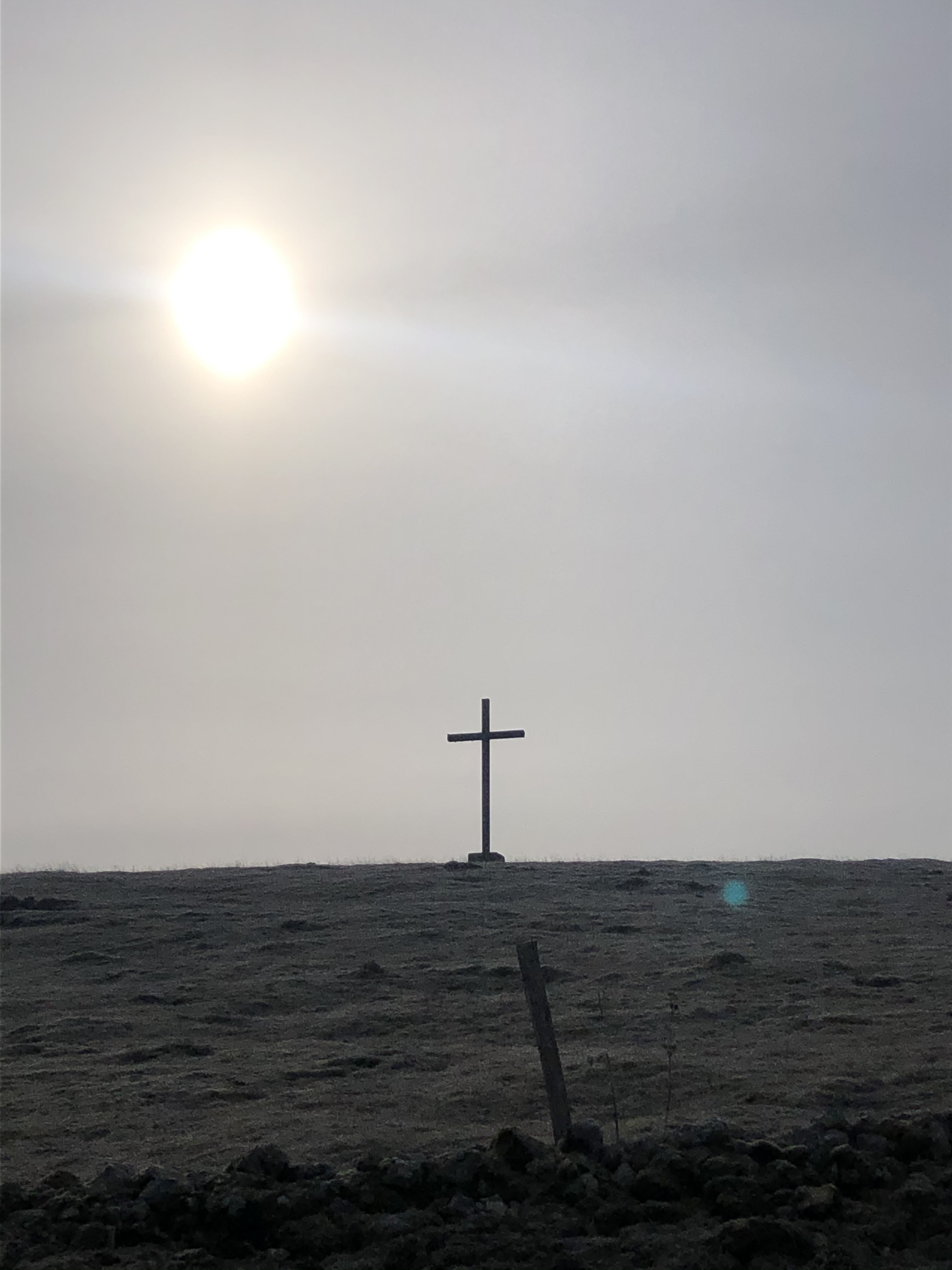
Via a gravel road and after a small ascent I reached the highest point of todays section, La Citadelle, also called “Signal des Français”, a 1’212 m peak. With its panorama view it called for another short break to take in the scenery and eat a little bit of chocolate (and yes, that was both times – chocolate was saved up for this particular occasion). The viewpoint offered a panorama of the Jura as well as the Alps and was a perfect last stop before the long descend towards Môtiers would begin.

After passing by the farm La petit pâturage with it’s many sycamores, lindens and ash trees, I soon reached the the estate of Monlési. The large house with it’s white and blue striped shops was built in 1755 by Abram de Pury – a lieutenant colonel, historian and councilor of state, who named the house “Mon-lési” (which means “mon loisir,” which translates to “my leisure”). From 1762 to 1765 the estate was the home of Jean-Jacques Rousseau.
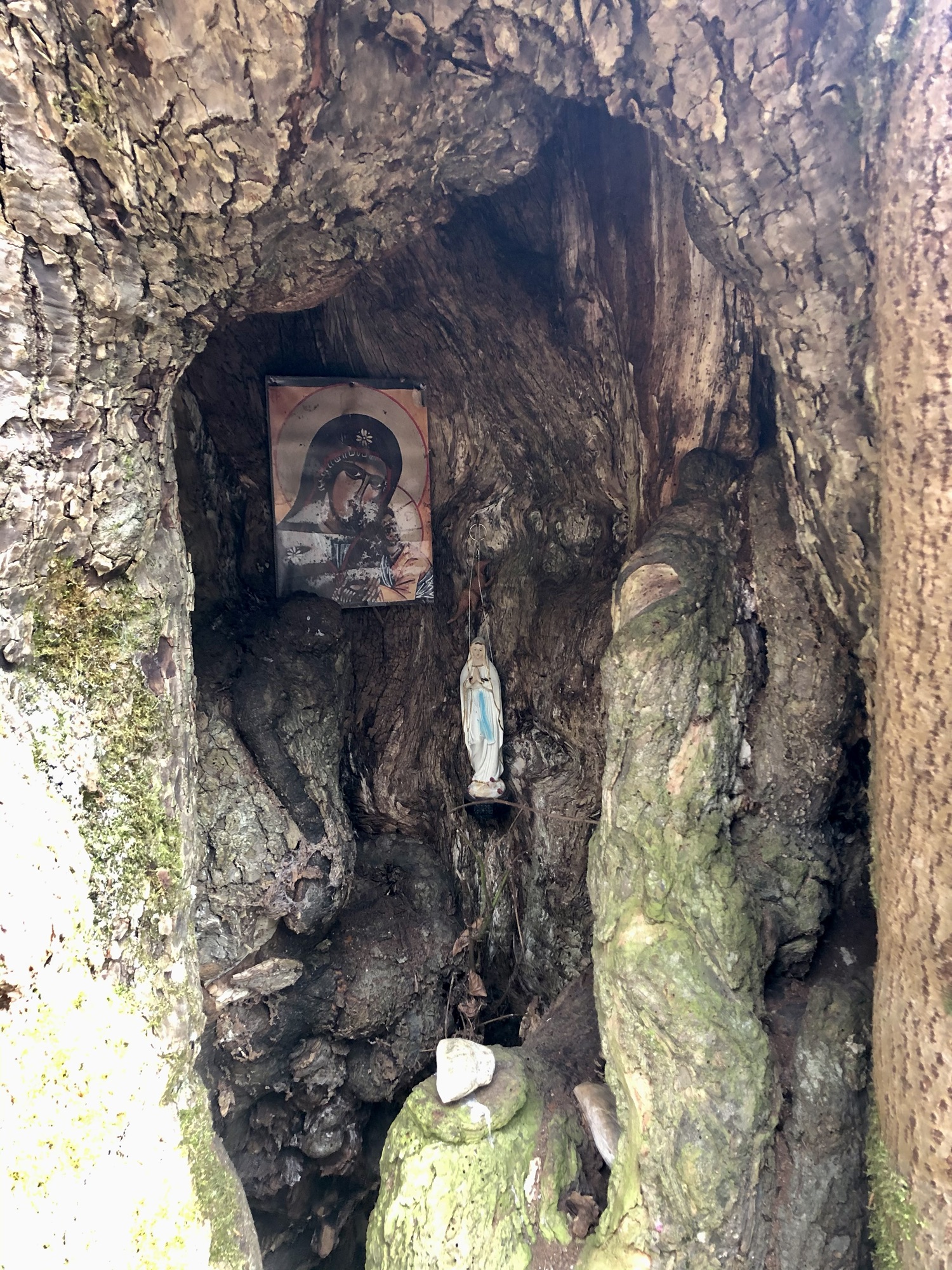
Over a small trail named Sentier du tilleul des moines I was led further down in the forest and got to meet the tree that gives this trail it’s name: the old linden tree that was asked by the monks passing by for their protection before continuing their journey. It is now one of the last witnesses of the origin and the religious presence of the “Vy aux Moines”.
I was very touched by the view of the tree, it wasn’t spectacular like say, a redwood tree – big and majestic. It is small and uniquely shaped. But it had undoubtedly a strong yet calm energy. So I did what the monks before me did: I asked it for my protection for the rest of my journey. Maybe even beyond this hike.
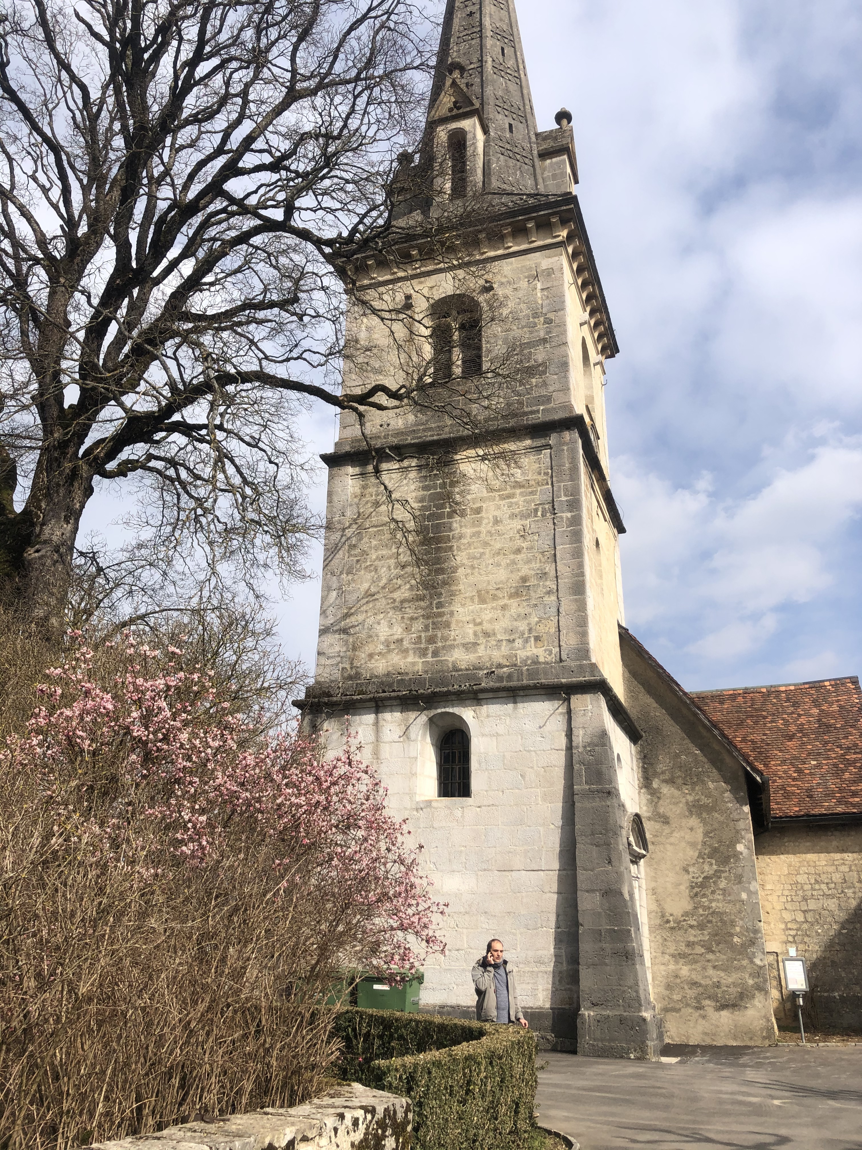
Not much further, I reached the car road that needed to be passed, before entering the village of Boveresse. It used to be the capital of absinthe “Antiquum caput absinthii”, as the village used to live from the cultivation of the mythical plant. The remainder of the way led next to the main car road and I could see Môtiers in front of me. Môtiers is a small municipality in the canton of Neuchatel and the oldest in the Val de Travers. Originally a monastery, the village of Môtiers later formed around the monastery, which takes its name from the Latin “monasterium” (monastery).
While waiting for the train I walked around the old houses and pictured Jean-Jacques Rousseau doing the same some 260 years ago and try to get a whiff of Absinthe in the air but all I smelled was a gentle hint of the pink blossoms of the tree next to the church. After taking my seat in the train, I felt a peaceful calm within me and was sure that my little pilgrimage was to thank for that.


Click here to see this section on SchweizMobil
This was an adventure – both times. The serenity and the deep feeling of connection with nature as well as the feeling of being completely detached from the concept of time make the “Vy aux moines” a unique experience. And the rough powerful and sometimes seemingly untouched nature of the “Vallée de Brévine” is a magical area I want to visit many more times. To experience this hike a second time with Sam was such a joy because I got to share my excitement for this beautiful places that I’ve already visited and yet see it again for the first time.
These two days completely alone in March 2021 were a clear reminder of the importance and the great benefits of being alone in nature from time to time, being in silence; undistracted by tasks, future plans or other peoples thoughts and expectations. It is for me the best and healthiest way to nurture my relationship with myself. And being out on the trail always brings me back to the simplicity in life and feel deeply enriched by it.


| 2021- Day 1: La Sagne to La Brévine | Part 1 Difficulty: T1 (Hiking Trail) Length: 9.67 km Duration: 2:57 h Ascent/descent: 522m/326m Part 2 Difficulty: T1 (Hiking Trail) Length: 7.16 km Duration: 1:48 h Ascent/Descent: 129m/175m |
| 2022 – Day 1: Col des Roches to La Brévine | Difficulty: T1 (Hiking Trail) Length: 15.13 km Duration: 4:16 h Ascent/Descent: 562m/437m |
| Day 2: La Brévine to Môtiers | Difficulty: T1 (Hiking Trail) Length: 15.41 km Duration: 4:09 h Ascent/Descent: 391m/699m |
Some more useful facts about this hike
- As far as I know there are no other hotels in La Brévine then the one we stayed in so it is recommended to make a reservation; you can then immediately also register for a dinner.
- There is a nice little bakery in La Brévine, where you can buy yourself some provisions for the Vy aux moines section, as on the way there are no other shops or restaurants.
- The Glacièrs de Monlési, one of the last underground glaciers of the Jura, can be visited along the way; around Petite Charbonnière there is a crossroads where you would have to go left. It would take about 45 minutes to there and back I think; I have not yet done this detour myself but plan to do so in the future.
- If you have the time in Môtiers, you can pay a visit to the two museums: the “Maison Rousseau”, a museum dedicated to Jean-Jacques Rousseau or the “Maison des Mascarons”, which houses the regional museum with historical and folklore exhibits as well as a section on the history of absinthe production in the Val de Travers.
- If you wish to stay a bit longer and go see the Cascade de Môtiers, a waterfall and a cave frequented by Jean-Jacques Rousseau, there are hotels in the village that make it possible to prolong your stay by a night. The waterfalls and cave are only about 15 minutes by foot from Môtiers.

Leave a comment